
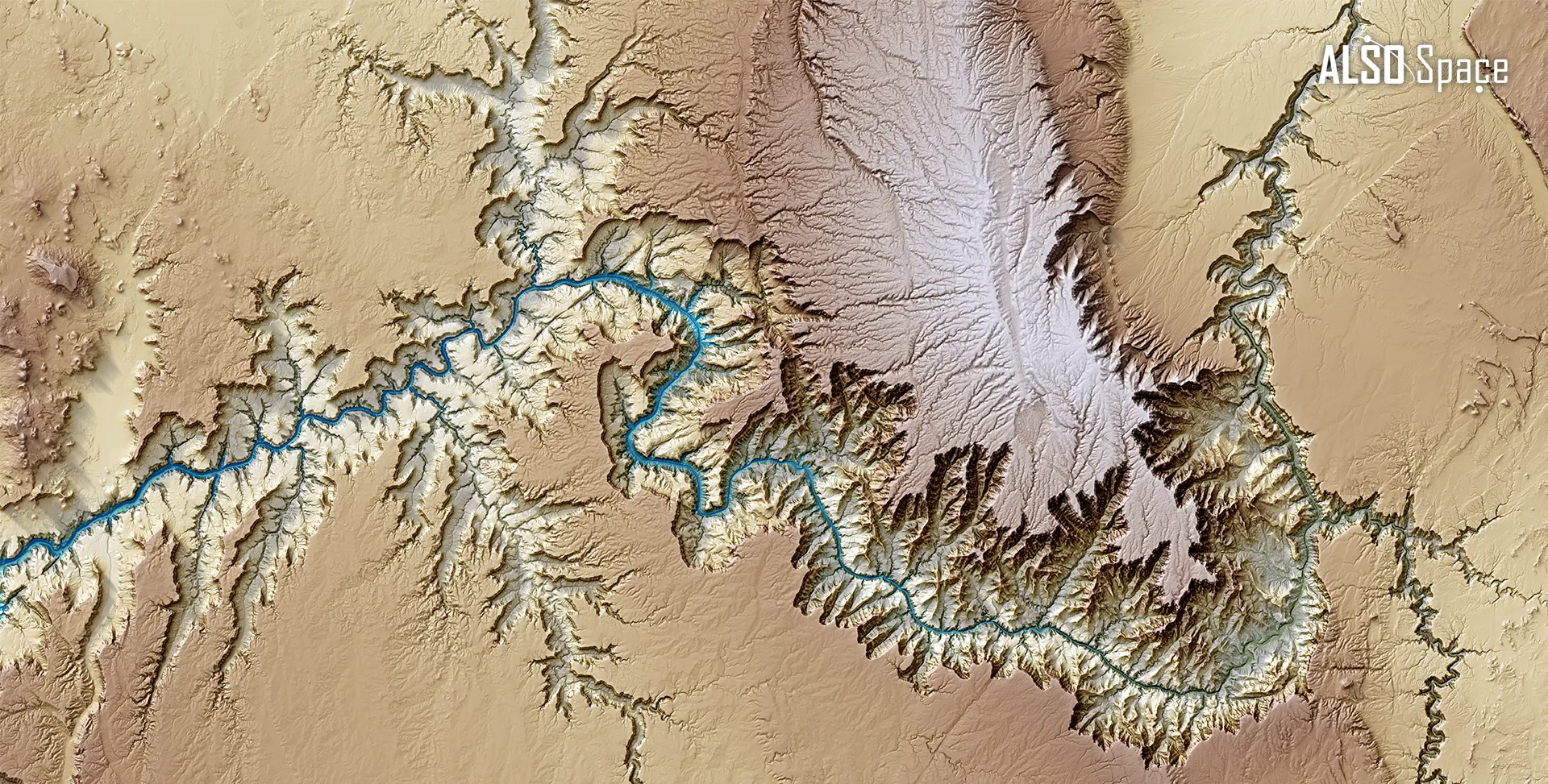
Grand Canyon, Arizona, United States
- Source: Copernicus DEM GLO-30 data
- Aproximate centre coordinates: 36° 4′ 1″ N, 112° 4′ 154″ W
- Processing applied: Combination of Digital Terrain Models based on Hillshade, Shadow depths and Textures derived from the Digital Elevation Model.
The Colorado River, which flows through the southwestern United States, carves the Earth’s surface through steep, winding canyons, shaping the terrain through sustained fluvial erosion over geological timescales. This image combines several Digital Terrain Models derived from a Digital Elevation Model, highlighting altimetric variations and surface morphology through colour and shading.
Looking for the image in high definition? Contact us here