
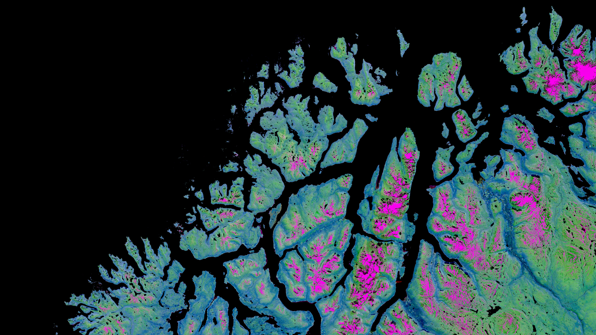
EO Data Visualisation Expert
We are seeking an Earth Observation (EO) Data Visualisation Expert to support the creation of high-quality visual products based on satellite imagery, geospatial datasets, and remote sensing analysis. The selected candidate will contribute to the transformation of complex EO data into clear, visually compelling, and scientifically accurate visualisations tailored to institutional, scientific, and public audiences.
The role combines satellite image analysis, cartographic production, geospatial visualisation, and visual storytelling across projects linked to the European space and Copernicus ecosystem.
Responsibilities:
- EO Data Visualisation and Image Production. Create high-quality visualisations based on satellite imagery, Earth Observation products, and geospatial datasets, including image compositions, annotated satellite images, thematic maps, infographics, dashboards, and data-driven visual products.
- Satellite Imagery Analysis. Analyse and interpret remote sensing data to support the production of visually accurate and scientifically reliable outputs related to climate, environment, security, emergency management, and sustainability topics.
- Visual Storytelling and Communication. Transform complex scientific and technical information into accessible and visually engaging narratives for institutional communication, publications, presentations, websites, and social media channels.
- Operational Production Support. Support ongoing operational workflows related to EO data processing, visual product generation, dissemination activities, and communication campaigns linked to Copernicus and European space programmes.
- Collaboration and Coordination. Work closely with scientists, analysts, communication specialists, and project managers to ensure consistency, quality, and scientific accuracy across visual outputs and deliverables.
- Documentation and Reporting. Document production workflows, visualisation methodologies, and analytical processes to ensure traceability and consistency across activities.
Skills and Qualifications:
- Educational Background. Degree in Remote Sensing, Geomatics, Geography, Environmental Science, Geoinformatics, Aerospace Engineering, Design for Data Visualisation, or a related discipline.
- EO Data Visualisation Expertise. Strong experience in the visualisation of satellite imagery, geospatial datasets, and Earth Observation products, including cartographic design and visual communication principles.
- Design and Visual Communication Skills. Ability to create visually compelling, clear, and publication-ready graphics and visual narratives tailored to different audiences.
- Technical Skills. Experience with GIS software, satellite imagery processing platforms, coding (python or equivalent) and visualisation or design tools such as QGIS, ArcGIS, Blender, Adobe Creative Suite, or equivalent software.
- Communication Skills. Excellent written and verbal communication skills in English, with the ability to present scientific information clearly and effectively.
- Languages. Fully fluent in English (written and spoken). Spanish and Italian are considered an asset.
What We Offer:
Join a dynamic and international team working on cutting-edge Earth Observation and geospatial communication projects within the European space ecosystem. You will contribute to the production of visual products and communication materials supporting initiatives linked to Copernicus, ESA, EUMETSAT, DG DEFIS, and other leading European institutions.
- Attractive remuneration package.
- Growth opportunities in a dynamic, international, and inclusive team with an outstanding network in the Earth Observation sector.
- Hands-on experience in high-impact projects and strategic assignments.
- Intellectual challenges paired with work-life balance and occasional limited travel.
- Possibility of remote work.
If this opportunity sounds like the right fit for you, please submit your CV and cover letter using the form below.