
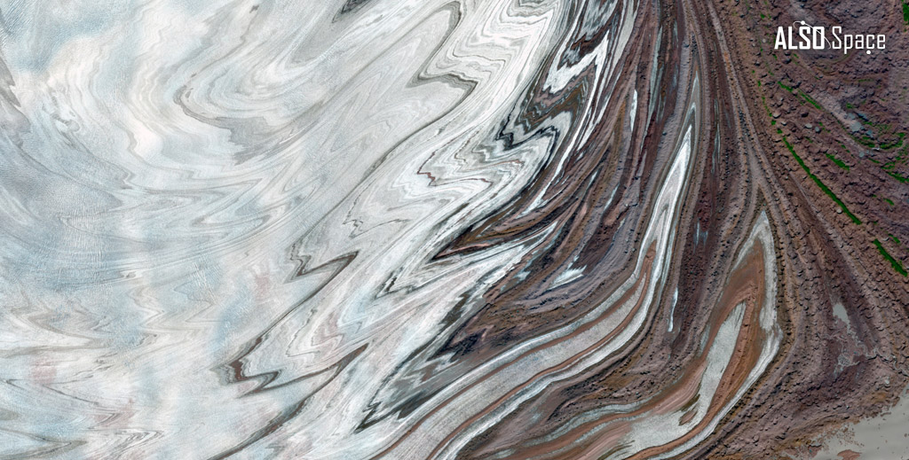
Malaspina Glacier, Alaska, United States
- Satellite mission: Copernicus Sentinel-2
- Date: 7 September 2021
- Approximate center coordinates: 59° 57′ 52″ N, 140° 19′ 34″ W
- Processing applied: Natural colour RGB composition
The Malaspina Glacier extends across Alaska’s southern coast in broad, arcuate formations. This image shows the slow but continuous movement of ice, rocks, and sediments that shape the surrounding landscape. The curved surface structures indicate differential flow within the glacier, while the dark bands of debris mark zones of transported moraine material. These features illustrate the geomorphological processes which govern the evolution of one of the region’s largest piedmont glaciers.
Looking for the image in high definition? Contact us here